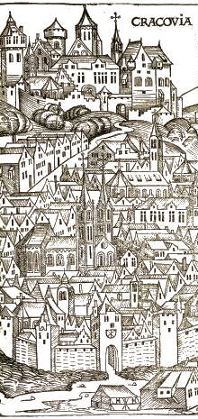
1493, Hartmann Schedel, Liber chronicarum
|
|
Background information about Kraków
The area of Krakow, covering ca. 324 km2 is situated at the meeting point of three major morphostructural units: the Krakowska upland, the Sandomierska basin and the Carpathian foothills. Within the City's area, five smaller geo-morphological subunits can be distinguished: The terrain relief is much varied, principally because of different geological structures showing diverse levels of substrate resistance, and stemming from various morphogenetic processes.
The number of residents is ca. 706 000. The average population density is ca. 2180 persons/km2.
Below is an illustration of the land use types within the city's limits detailing the sizes of the areas under specific land uses in hectares. A simplified breakdown into land use categories is also shown as a map.
- forests - 1 514,32
- parks, public gardens, greens, squares- 573,79
- fields, meadows - 1 292,73
- thickets, wetlands - 940,80
- private gardens- 648,62
- cemeteries - 148,78
- greenery surrounding sports centres - 198,50
- forts - 68,41
- wastelands - 454,72
- waters - 21,45
- buildings - 53,34
|